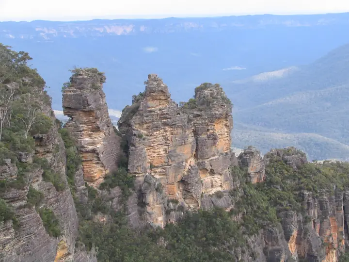
Three Sisters Walk
The short, mostly flat walk from Echo Point to the foot of the Three Sisters - the one view every first-time visitor comes for.
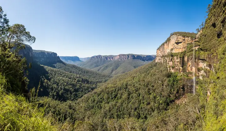
From a 25-minute stroll to the Three Sisters to two days along the clifftops. Every walk has a route map, directions to the trailhead and a free GPX file to use offline.
The Blue Mountains has hundreds of walking tracks. These are the ones worth your day, with the detail you need to actually get there: where the trailhead is, where to park, whether the train works, and a map you can use when the phone signal disappears, which it will.
Distances, times and grades are the official NSW National Parks figures. Grades follow the Australian Walking Track Grading System: Grade 1 is flat and sealed, Grade 3 has steps and short steep sections, Grade 5 is for experienced bushwalkers only.
The short, mostly flat walk from Echo Point to the foot of the Three Sisters - the one view every first-time visitor comes for.
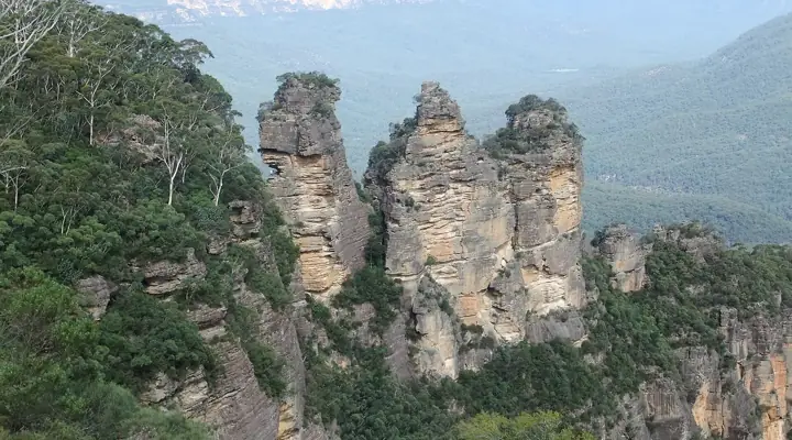
Seven kilometres of clifftop track linking Katoomba and Leura, with more than 20 lookouts over the Jamison Valley.
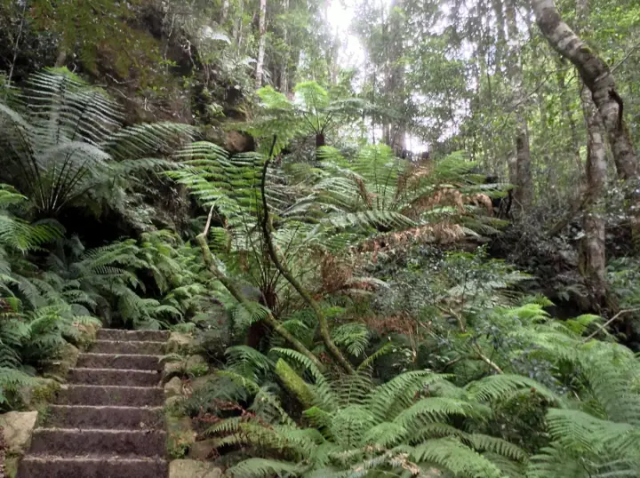
A historic loop that drops off the plateau into a fern-filled slot canyon, then climbs back out to Evans Lookout.
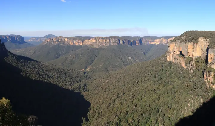
A sealed, gently graded track from the Blue Mountains Heritage Centre to Govetts Leap lookout - the best accessible walk in the park.
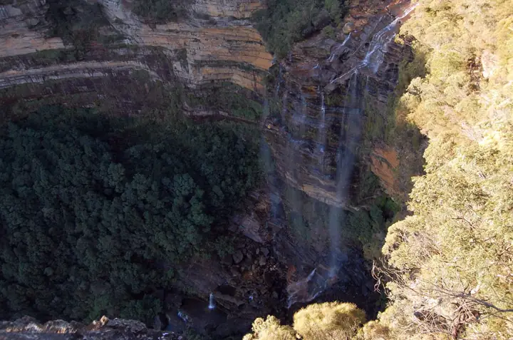
A short walk from the picnic area to the top of Wentworth Falls, with two lookouts over the Jamison Valley on the way.
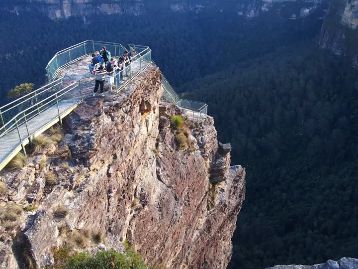
Clifftop walking from Govetts Leap past Horseshoe Falls to Pulpit Rock, a blade of sandstone with a three-tier lookout hanging over the Grose Valley.
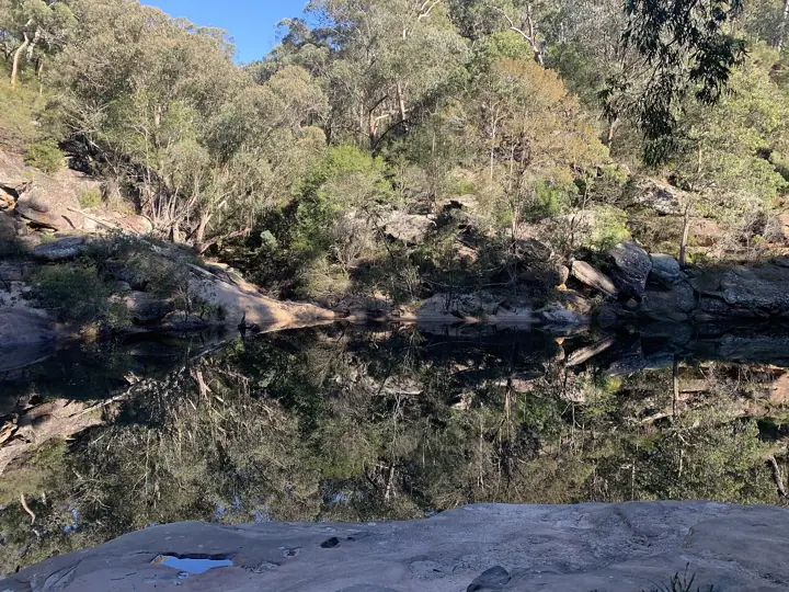
A short, steep walk down to a sandy swimming hole on Glenbrook Creek - the closest national park swim to Sydney.
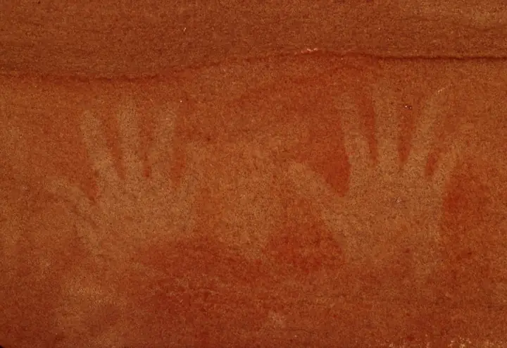
A creek-side loop to one of the best-preserved Aboriginal hand stencil galleries in the Sydney region.
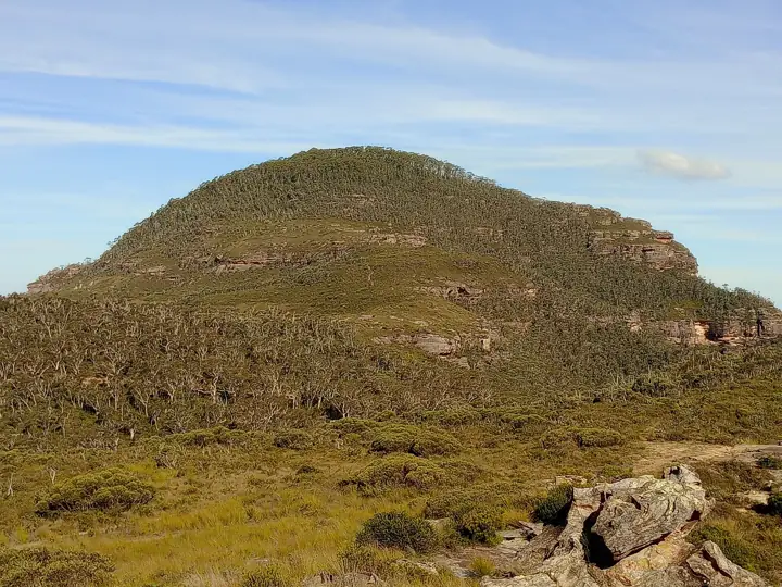
A steady climb through heath to a basalt-capped summit on the quiet northern side of the Grose Valley.
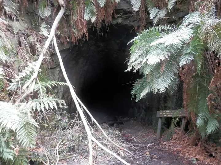
Walk through an abandoned 400-metre railway tunnel on the Newnes Plateau, its walls lit by thousands of glow worms.
Down the Golden Stairs and along an old miners' track to a rock outcrop with a 360-degree view of the Jamison Valley.
The escarpment walk between Govetts Leap and Evans Lookout: heath, wildflowers and the Grose Valley beside you the whole way.
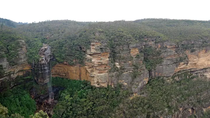
A loop that ducks under dripping overhangs and across hanging swamps between Wentworth Falls and the Conservation Hut.
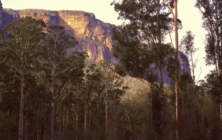
A very steep 600-metre descent into the Grose Valley to stand among the towering blue gums bushwalkers saved from the axe in 1932.
A new track through the sandstone pagodas of the Lost City, in the Gardens of Stone above Lithgow.
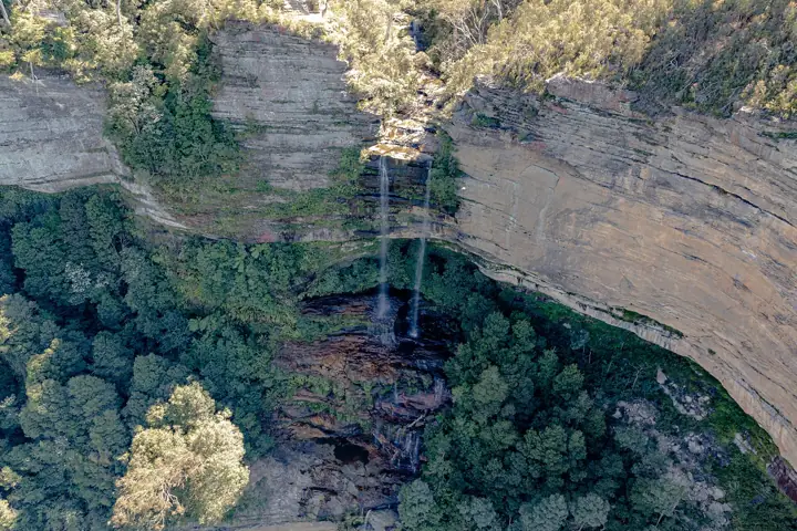
A short loop through rainforest to lookouts over Katoomba Falls, starting beside Scenic World.
Descend the Giant Stairway beside the Three Sisters into the rainforest of Leura Forest, and climb back out the other side.
The easiest way to see all of Wentworth Falls: a short walk to a lookout facing the falls head-on.
A quiet loop from the Conservation Hut through hanging swamps and heath, with a cascade and a lookout along the way.
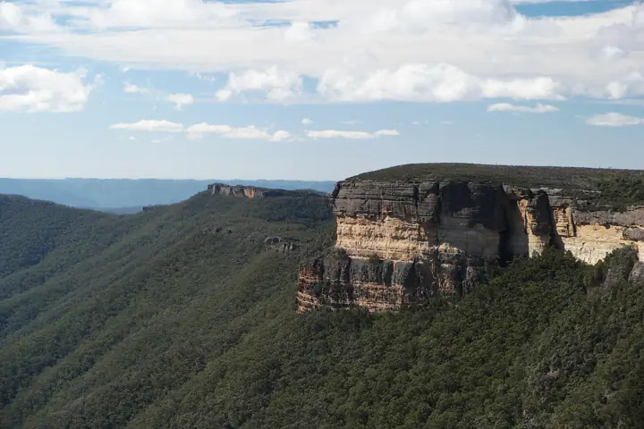
A short, steep track down from Kanangra Walls to a cascade tumbling into one of the deepest gorges in Australia.
Two days and 19 kilometres along the clifftops from Wentworth Falls through Leura to Katoomba, sleeping in a village bed instead of a tent.
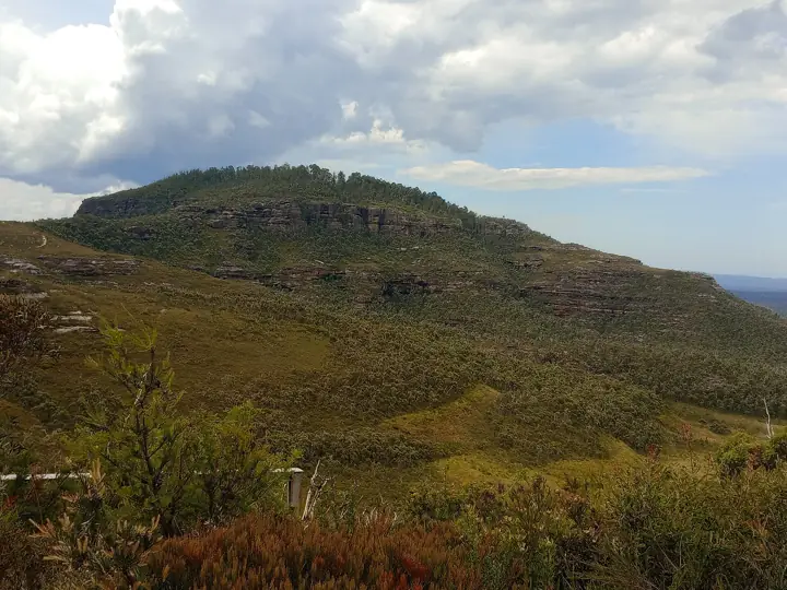
A rough, steep and uncrowded climb to a basalt summit deep in the Grose wilderness, at the end of a long dirt road.
Nothing matches that filter yet.
The Three Sisters Walk at Katoomba and the Fairfax Heritage Walking Track at Blackheath are both Grade 1, mostly sealed and under an hour.
Katoomba, Leura, Wentworth Falls, Blackheath and Glenbrook stations all have walks within walking distance. The Grand Cliff Top Walk and Prince Henry Cliff Walk start and finish near stations.
Walking is free. A vehicle entry fee applies only at the Glenbrook entrance to Blue Mountains National Park. Council parking at Echo Point and Katoomba Falls is metered.
Yes. Every walk has a free GPX and KML download and a printable map. See how to use offline maps.