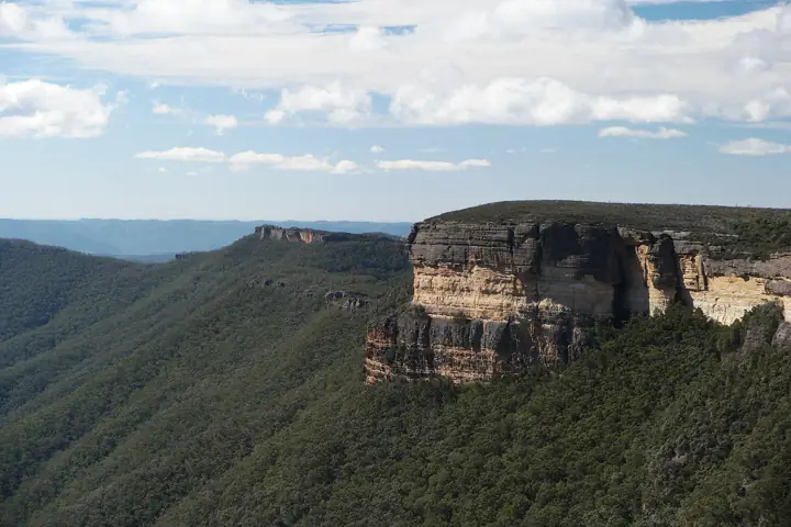
Boyd River Campground
High-country camping among snow gums beside the Boyd River, the base for Kanangra Walls.
- Sites10
- Nearest townOberon
About this campground
Location map
Take this map offline
Phone reception drops out across most of the Mountains. Save the location before you leave town.
GPX opens in Gaia GPS, AllTrails, Organic Maps, Garmin and most navigation apps and shows your live position on the route with no signal. How to use offline maps.How to get there
On Kanangra Walls Road, about 6 km before the Kanangra Walls carpark. Approach from Oberon.
Facilities, fees and booking
- Sites
- 10
- Camping type
- Tent, Camper trailer site, Caravan site, Camping beside my vehicle Where Kanangra Walls Road, Kanangra, NSW, 2787 - in Kanangra-Boyd National Park
- Facilities
- Toilets, unpowered sites, unmarked sites, barbecue facilities, picnic tables, carpark
- Bring
- Firewood
- Fees
- There are no camping fees at this campground but a $6 booking fee applies.
- Note
- This is a remote campground. Please make sure you arrive well-prepared. Noise restrictions apply at this campground.
Check availability and book on NPWS
Facilities and fees as published by NSW National Parks, checked November 2026. Bookings are required for NPWS campgrounds.
Good to know
- Above 1,200 m: frosts in any month and snow in winter.
Common questions
Where is Boyd River Campground?
On Kanangra Walls Road, about 6 km before the Kanangra Walls carpark. Approach from Oberon. GPS: -33.97084, 150.05644.
Can I take my dog to Boyd River Campground?
No. Dogs and other pets are not permitted in NSW national parks, including on leads or in vehicles.
Is there phone reception at Boyd River Campground?
Do not rely on it. Download the GPX file or save this page offline before you leave Oberon.
Sources: NSW National Parks and Wildlife Service (distance, time, grade, coordinates, facilities). Last checked Friday 13 November 2026. Spotted something out of date? Tell us.
Photo: Dhx1, CC0.
